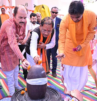
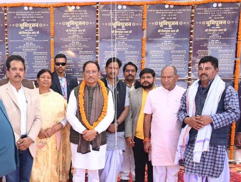
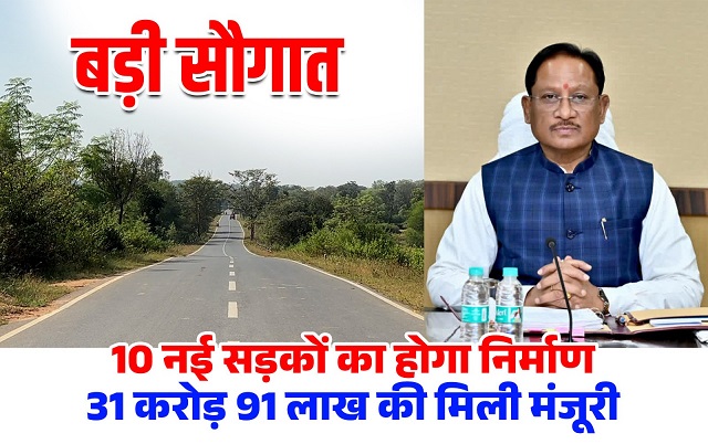
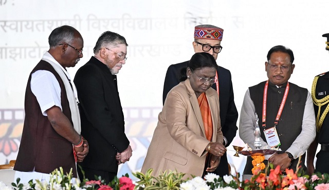
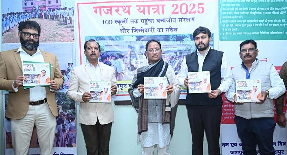
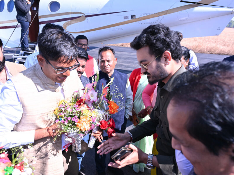
सामुदायिक भवन निर्माण की घोषणा joharcg.com मुख्यमंत्री श्री विष्णु देव साय आज जशपुर प्रवास के दौरान दुलदुला विकास खंड के ग्राम सिरीमकेला स्थित श्री नीलकंठेश्वर महादेव मंदिर के पावन प्राण-प्रतिष्ठा समारोह में सम्मिलित हुए। उन्होंने विधि-विधान से पूजा-अर्चना कर देवाधिदेव महादेव से समस्त छत्तीसगढ़वासियों के सुख, समृद्धि और कल्याण की मंगलकामना की। महाशिवरात्रि के पावन […]
Jashpur
Jashpur District lies in the north-eastern corner of the state of Chhattisgarh in India adjoining the border of Jharkhand and Odisha. Jashpur Nagar is the administrative headquarters of the district. It is a part of the Red Corridor.
this District lies in the north-eastern corner of the state of Chhattisgarh in India adjoining the border of Jharkhand and Odisha. Nagar is the administrative headquarters of the district.
It is a part of the Red Corridor. The collector of this is Nileshkumar Mahadev Kshirsagar.
The main towns situated on the national highway (N.H.78) are Lodam, Gholeng, and this in the Upper ghat and Kunkuri, Bandarchuwan, Kansabel, Ludeg, and Patthalgaon. The roads running from Jashpur H.Q are:
- Ranchi.
- Ambikapur via Manora, Kusmi (170).
- Ambikapur via Sanna Bagicha (170 km). These 2 and 3 are not the all-weather road.
- Ambikapur via Kunkuri, Patthalgaon (200 km).
- Jashpur Ambikapur via Nrayanpur Baghicha.
The upper ghat runs from Loroghat Kastura, Narayanpur, Bagicha up to the Surguja district. This belt is a forest area and contains a reserve forest. It covers Sanna, Bagicha, and Narayanpur.
The upper ghat is an extension plateau covering 1384 km² which is about 1200 meters above sea level and is covered by a dense forest. The elevated plateau is called “Pat”. The Upper Ghat is climbed through Loroghat. Loroghat is about 4 km in length and there are three turnings that are very dangerous.
Nichghat is flat in general but also has many big mountains. In this Raigarh road there are two more ghats, both climbing, Jhanda ghat before Kansabel and Belaghat after Kansabel.
Major rivers in the Mahanadi basin are Ib and its tributaries such as Dorki, Maini, Kokiya, Utai, Khadung, and Burhi.
In the eastern part, rivers named Girma and Lava Nadi flow in the Brahmani basin.
Lower Ganges part is mainly drained by Geor and Kanhar rivers. The drainage pattern is dendritic and is highly irregular, which is reflective of the topography. Irregular topography results in huge base flow through the streams and less recharge.
- Jashpur District
- Block Jashpur
- Tehsil Jashpur
- Nagar Nigam Jashpur

